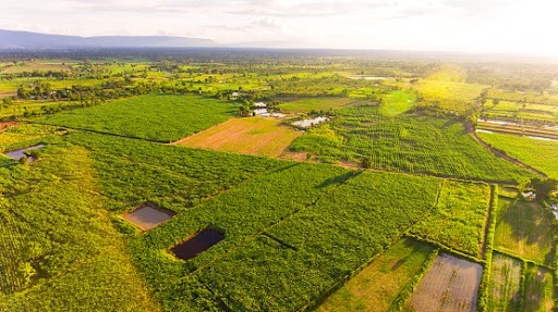
Challenges
One of Asia's largest sugar producers, managingoperations across multiple provinces in Thailand,faced several key challenges:
- Limited visibility into sugarcane areas outside its GPS-mapped zones, especially those supported by competing mills.
- Manual monitoring was costly and slow, requiring extensive manpower, vehicles, and fuel to track harvesting and stock.
- High competition from nearby mills led to diverted cane supply and procurement uncertainty.
- Uncertainty in early crop development, with limited visibility into germination rates or underperforming fields after planting-impacting replanting decisions and farmer loans.
The sugar mill needed a scalable, digital solution to unify monitoring, improve visibility, and reduce field inefficiencies.
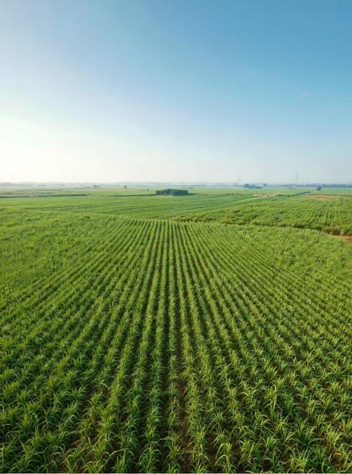
Solutions
Farmdar deployed its CropScan platform, powered by Al and satellite imagery, along with tools like eSurvey, YieldPro, and DeveloPro. Key features included:
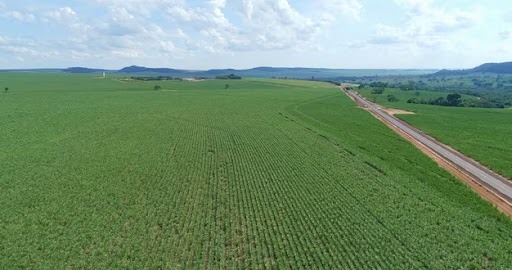
- 100% satellite-based sugarcane mapping (GPS and non-GPS areas), using 3-10m resolution imagery with >90% accuracy.
- Weekly updates on harvested vs. remaining areas across plots, sub-districts, districts, and provinces.
- Cutting distribution reports that support price setting and crop procurement during peak harvest.
- Fallow land detection to identify expansion opportunities.
- Plant health monitoring via Plane Health, to assess germination and classify field performance.
- Interactive dashboards and analytics for deeper insights into planting, yields, and field trends.
.svg)

.svg)


.svg)


.svg)
.svg)
.svg)
.svg)